Tegernsee
Hike up Baumgartenschneid
It’s a new day, so it’s time for a new hike. The mountain in between Tegernsee and Schliersee is called Baumgartenschneid which is the highest mountain in that region (1449m). No problem for wannabe hikers like us, we made it to the middle station of the last one just the day before, so what’s an extra 3 hours!? We parked our car at a parking lot (Prinzenweg 14) at the bottom of the hill and paid for parking (I thought a four-hour-ticket should be fine if the hike takes 3.5 hours, who needs breaks these days anyways?!). Spoiler alert: we did get a parking ticket, but not only because we arrived 2 hours after the ticket had expired, but because we had parked in a non-parking zone – whoops.
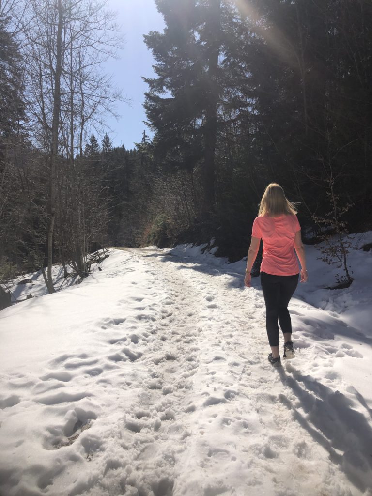
Two hours into the hike I was really starting to wonder, which hiking pro had described this hike as an “easy hike” online because it was steep and long. Plus, there were so many snowy and icy bits on the path that were really hard to master for our sneakers (who would have thought there is still snow on the mountains!? At least we weren’t hiking in jeans this time, so there is a small learning curve to see here).
Hiking in sneakers through the snow – no worries!
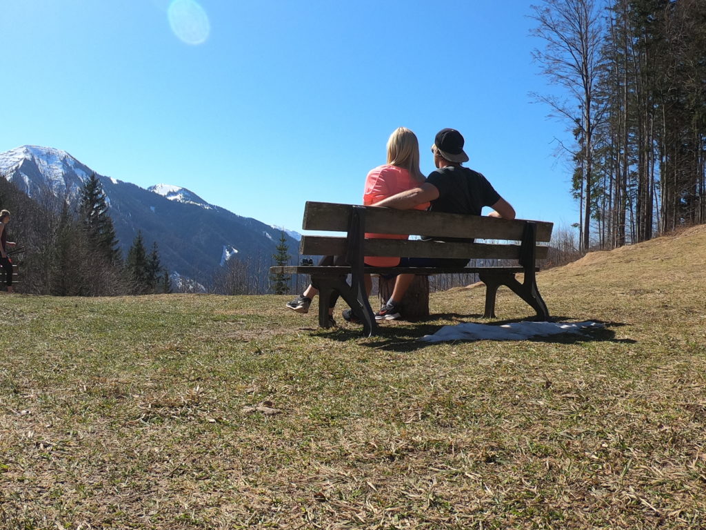
We had a stop half way through at a Bavarian “alm” with a great lookout over the valley. We decided against eating the only small nut bag we had brought on this hike but rather save it for the top.
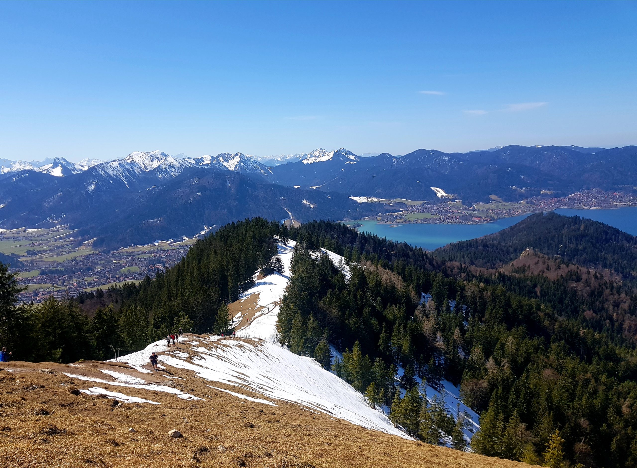
After 3.5 hours, more snowy slippery parts and a bit more cursing and puffing we had finally made it to the top and the view was breathtaking! You could overlook the Tegernsee and the entire mountain range behind it, including the “Zugspitze” (highest mountain in Germany). We were really happy and celebrated with beers and our little nut bag.
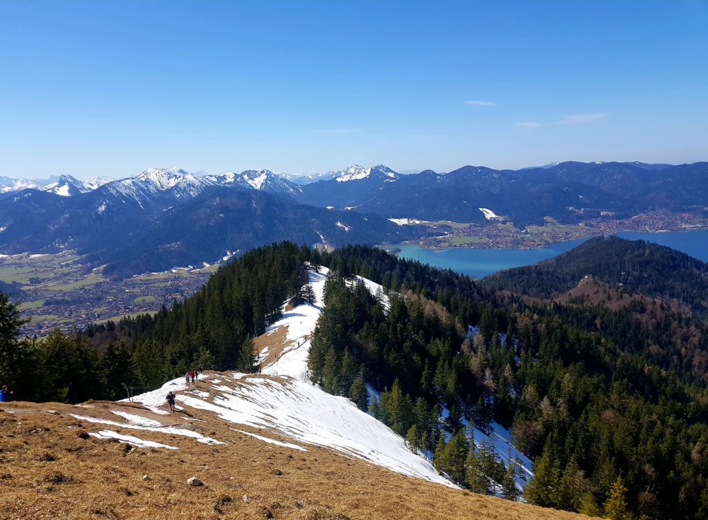
at the top 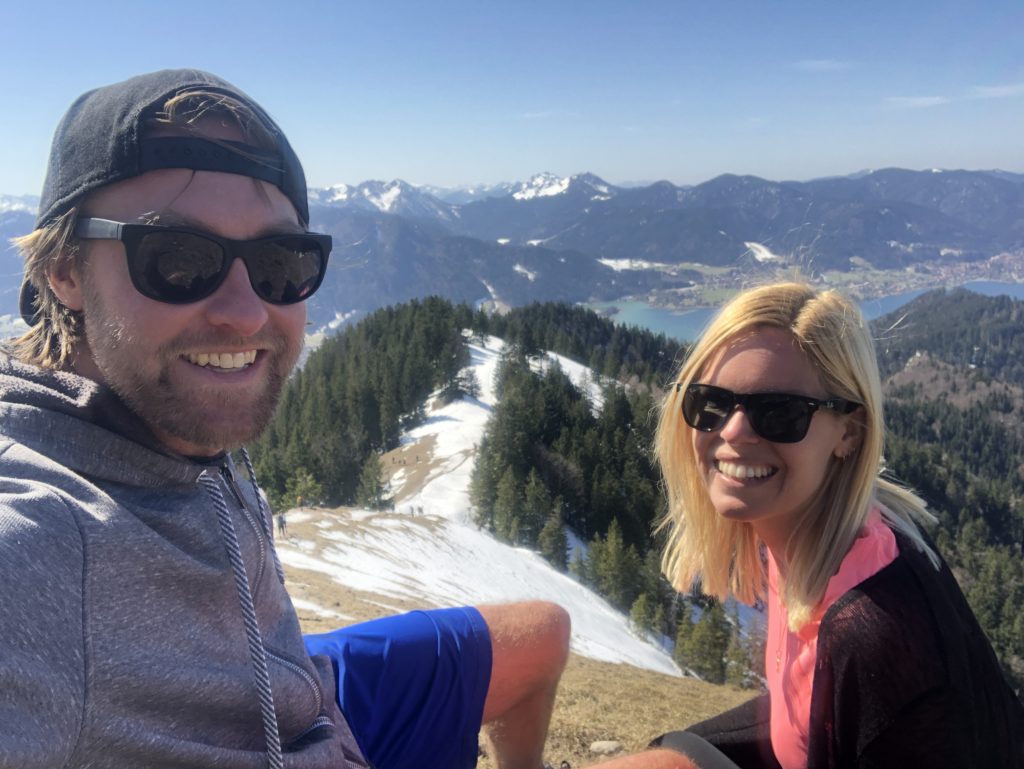
exhausted, but happy
Going downhill was tricky
We thought going down would be easy, the only thing we hadn’t thought of was the tiny fact that there were different starting points for the hike. So which signs should we follow? Luckily I had saved the address “Prinzenweg” in my phone so we kept following that sign. For some reason this was a massive detour back to our car and was definitely NOT the same way we had come up as we now hiked through thicker snow and it was slowly getting chillier (nor did we have saved some of the precious nuts for the hike down). Finally, after 6 hours in total (let’s just say we took veeery long stops and it wasn’t because we moved like turtles), we made it back to our car – and to our parking ticket. We drove to Lidl, got some salads and pasta dishes to go, drove to another car park, set up the camping chairs, ate our dinner, felt like heroes and collapsed exhausted but happily into bed aka the van (at 9 p.m.).
Previous day: Day 4: Aschau im Chiemgau – Oberaudorf – Schliersee
Next day: Day 6: Tegernsee – Bad Tölz – Walchensee – Garmisch-Partenkirchen
Leave a Reply